Fishing decisions are local, specific and time-sensitive, and most fishing apps are built for somewhere else.
Bite Compass started in Perth and now covers Western Australia, South Australia and New South Wales.
Why American Apps Don't Fit Here
Most popular fishing apps are tuned for US seasons, species and data sources.
Australia has different wind patterns, different coastlines and different fish.
Bite Compass was built in Perth for Australian water: local spots, local species, local bag limits, and the sea breeze that turns up at 2pm whether you've finished rigging or not.
A typical US fishing app compared with Bite Compass
Built for There
Built for Here
Target
Largemouth bass
Tailor, whiting, squid
Spot
Lake Okeechobee
Cottesloe Groyne
Water
72°F
22°C
Wind
15 mph
24 km/h
Afternoon
Thunderstorms
Sea breeze, on cue
Why the Basics Stay Free
Most people just want to know one thing: "Is it worth going for a fish this arvo, or this weekend?"
You shouldn't need a subscription to find out.
Free, and It Stays Free
The bite score for every spot
Tides and weather
Your catch log
The map's wind, wave and tide layers
Bite times for the first species you follow
3 saved spots
The forecast needs no account at all. Sign up when you want to save spots or log a catch.
Bite Compass Premium
A$49 a year or A$5.99 a month
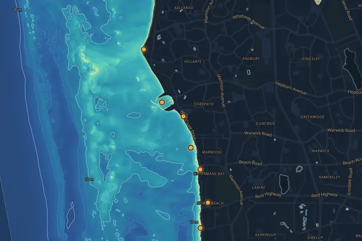
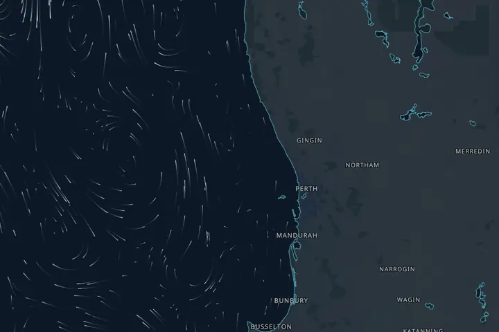
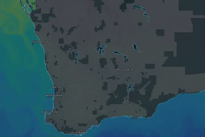
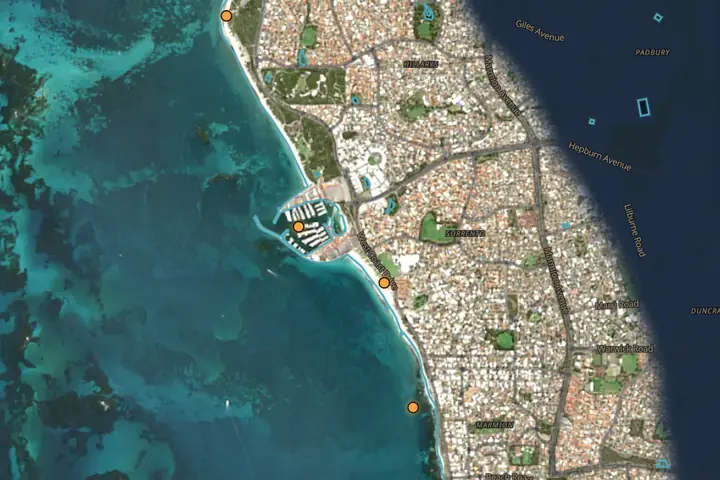
Bite times for every species you follow, and four more map layers: depth, currents, water temperature and satellite.
DepthCurrentsWater tempSatellite
Forecast data and map tiles cost money to run. Premium pays for them, which keeps the free forecast free and funds what's next on the roadmap.
A good fishing window is often short. If the wind direction is wrong, or the tide times are "close enough" but not actually right,
you waste time and fuel on a bad call, and the trip home is a long one.
Good window 5:30–7amSea breeze in
12am6am12pm6pm12am
A typical summer day on the Perth coast: about an hour and a half worth fishing around dawn, then the sea breeze from 2pm.
Bite Compass focuses on the few inputs that matter most at each spot, and keeps the pages fast so you can decide quickly.
No fluff. No pretending this guarantees fish. It's just a tool, built in Perth.
Satellite imagery: contains modified Copernicus Sentinel data 2026 (Sentinel-2, via Earth Search).
It can be weeks old and is not for navigation —
see the Terms.